THE NOTEBOOK
Behind
the story.
Places, passages and the possibilities
that live between the lines of history.
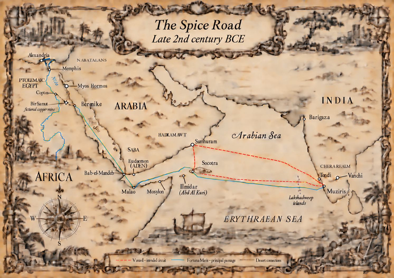
01 / PLACE · 4 MIN READ
Muziris: Emporium of the East
At the water’s edge, a meeting place for languages, cargoes and lives.
Read the story ↗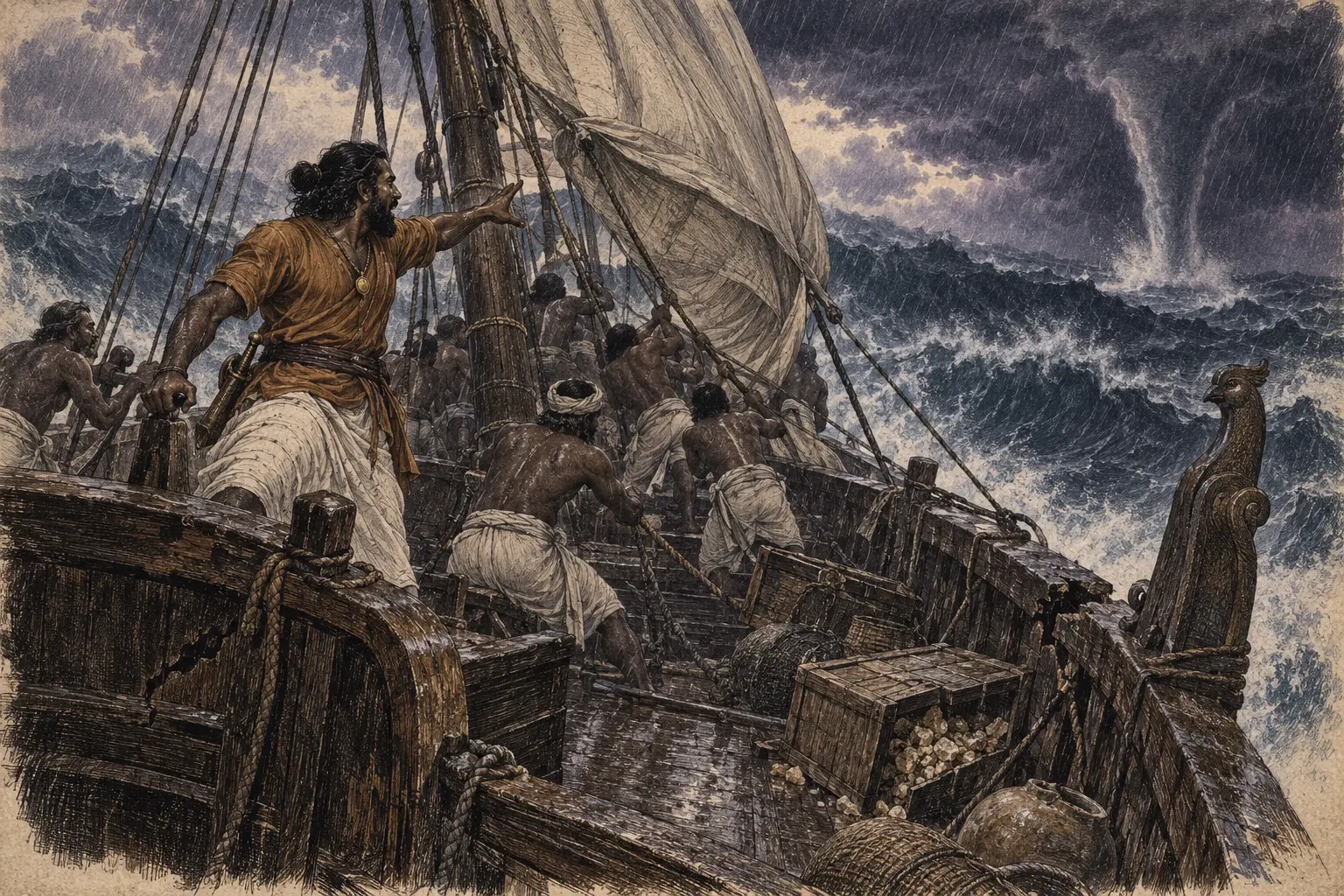
02 / THE SEA · 3 MIN READ
The wind that connected the worlds
For a sailor, the monsoon was a season, a promise and a risk.
Read the story ↗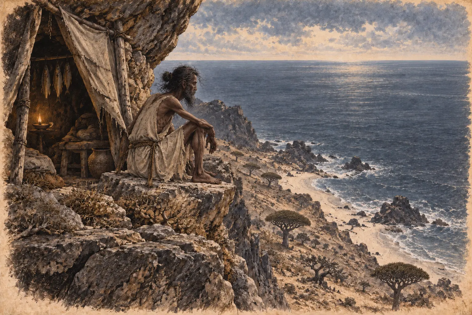
03 / FICTION & IMAGINATION · 2 MIN READ
Where history falls silent, the story takes shape.
The unanswered questions that make room for a human story.
Read the story ↗FROM THE EXCAVATIONS
Berenike: a port at the edge of the Eastern Desert
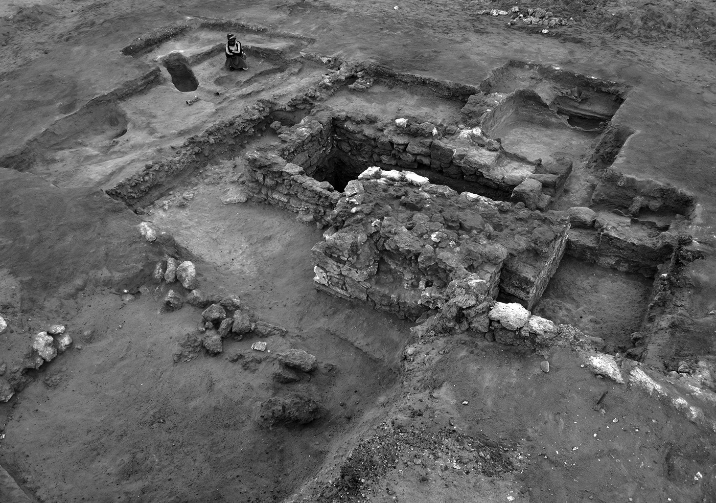
Founded around 275 BCE by Egypt’s King Ptolemy II Philadelphus and named after his mother, Berenike I, the port first received African war elephants. It grew into a meeting place for merchants from India, Arabia and Africa, enduring for roughly eight centuries before its abandonment in the sixth century CE.
A 2025 study by Steven E. Sidebotham and colleagues brings together Buddha figures, Hindu imagery and a Sanskrit–Greek dedication dated to 248 CE. Mostly made locally, these objects speak of people carrying their beliefs across the sea and making a life in a distant harbour. They belong to the Roman centuries, after the novel’s setting.
IN THE NOVEL
Berenike is Ippalai’s first foothold in Egypt after his rescue. Word of his knowledge of the winds passes from the merchants to the Greek king of Egypt. Here Ippalai finds friendship and unexpected attachments. In Berenike his transformation is complete, and as the road home opens, the little city in the desert gives him something he may find difficult to leave.
FURTHER READING
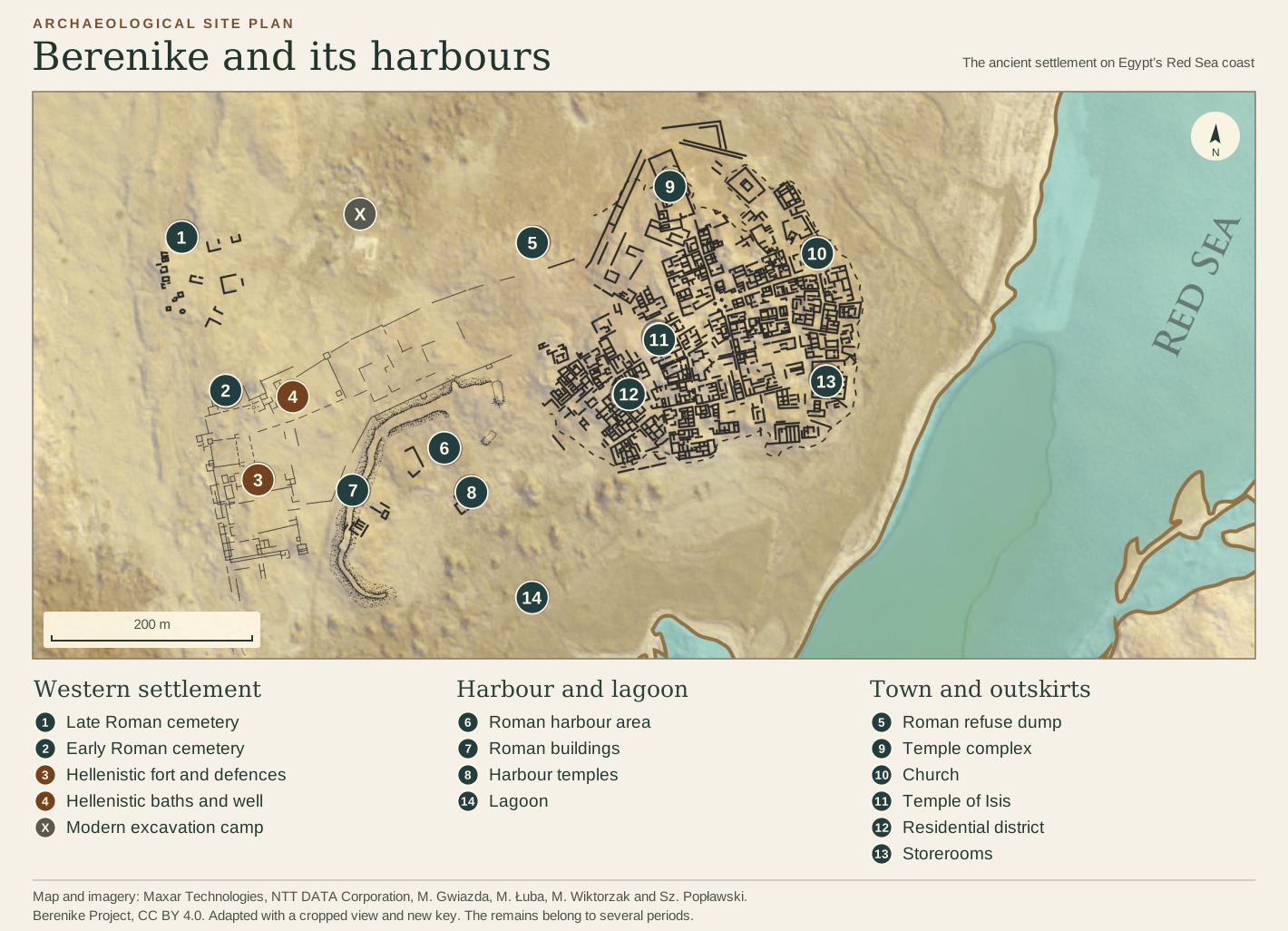
The desert around Berenike · photograph by Delia Eguiluz Maestro ↗Desert photograph source and credit · fig. 1, CC BY 3.0 PL ↗The port’s founding and early purpose · University of Delaware ↗Sidebotham and colleagues · Indians in Roman Berenike (2025) ↗Berenike excavation reports · including the 2023–2025 seasons ↗A guide to the excavated town
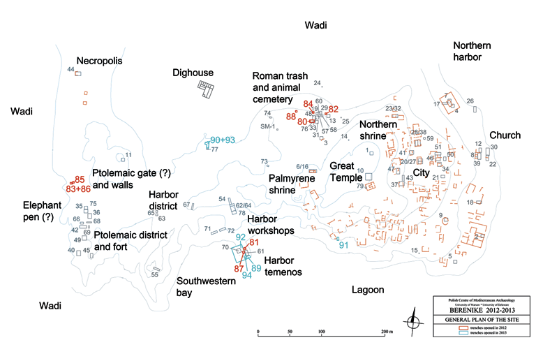
The 2012–13 excavation plan
BETWEEN THE NILE AND THE SEA
The roads across the Eastern Desert
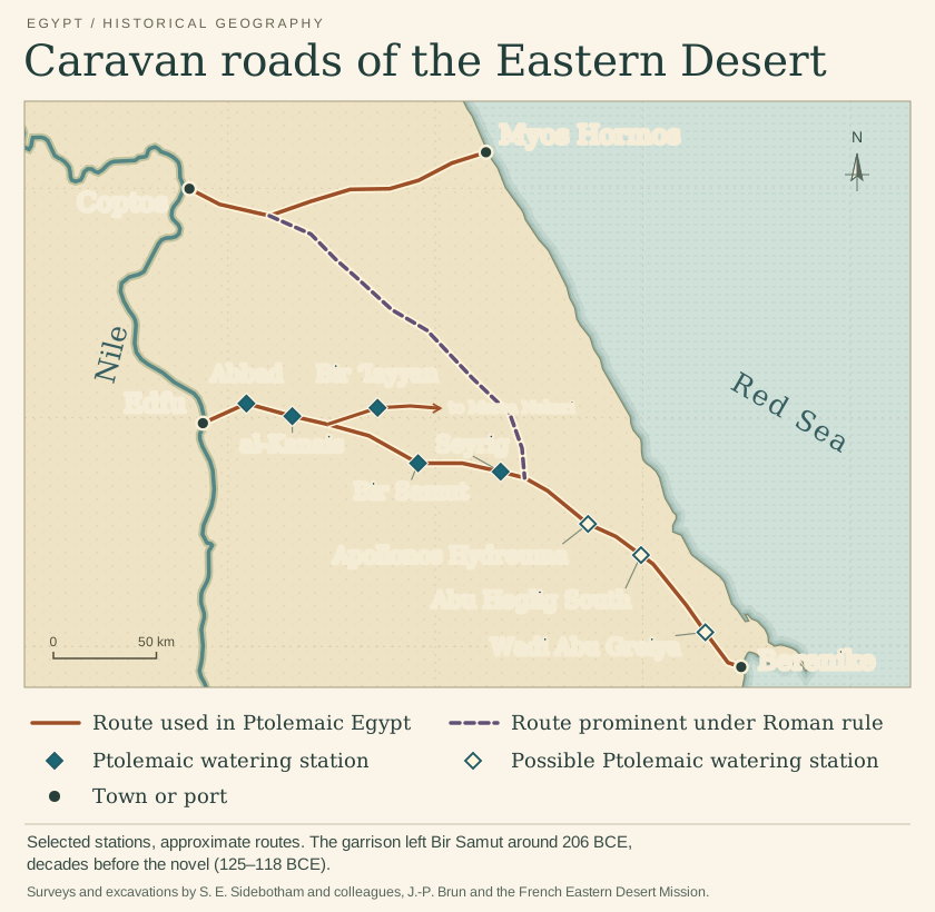
For a cargo landed at Berenike, the sea crossing was only part of the journey. The caravan road to Edfu on the Nile ran from one watering station to the next. The Greeks called these stops hydreumata. At Abbad, water tickets survive from an expedition sent to collect elephants. At al-Kanais, a Ptolemaic inscription names the watering place beside the sanctuary of Pan.
At Bir ʿIayyan, a distance stone dated to 257 BCE measured the journey from the Nile. Bir Samut’s garrison left around 206 BCE, long before Ippalai’s journey. Farther north, another road led from Myos Hormos to Coptos. Under Rome, Coptos also received caravans from Berenike. There the cargo could travel on by boat.
AN ISLAND & A MEMORY
Ilmidar: the island of transmutation
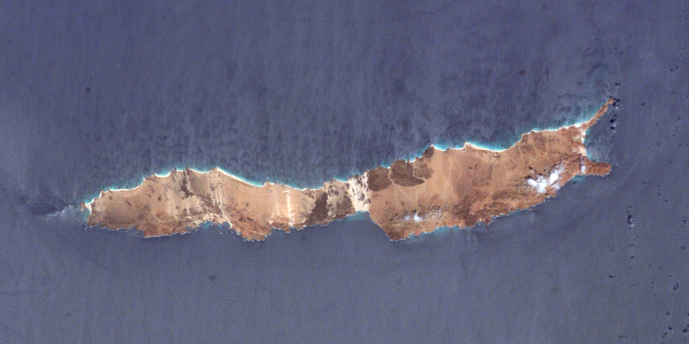
Ilmidar, the island of the novel, is modelled on Abd al Kuri, west of the much larger Socotra. A storm strands Ippalai here, far from the green abundance of home. For Ippalai, five years on the island become an ordeal of survival that changes his faith, his understanding of the world and the man he will become.
On Socotra itself, Hoq Cave preserves sailors’ graffiti: names, drawings and traces of belief left by travellers from India and other shores. Studied by Ingo Strauch and colleagues, many inscriptions record visitors of the second to fifth centuries CE, later than the novel’s voyage. These are rare glimpses of individual lives behind the history of maritime trade.
In the novel, Valluvan’s memory of Hoq offers the castaways a brief hope of recognition. Ippalai’s later visit carries a promise and the memory of his friend into that darkness. The cave becomes a place where a sailor can leave something of himself behind.